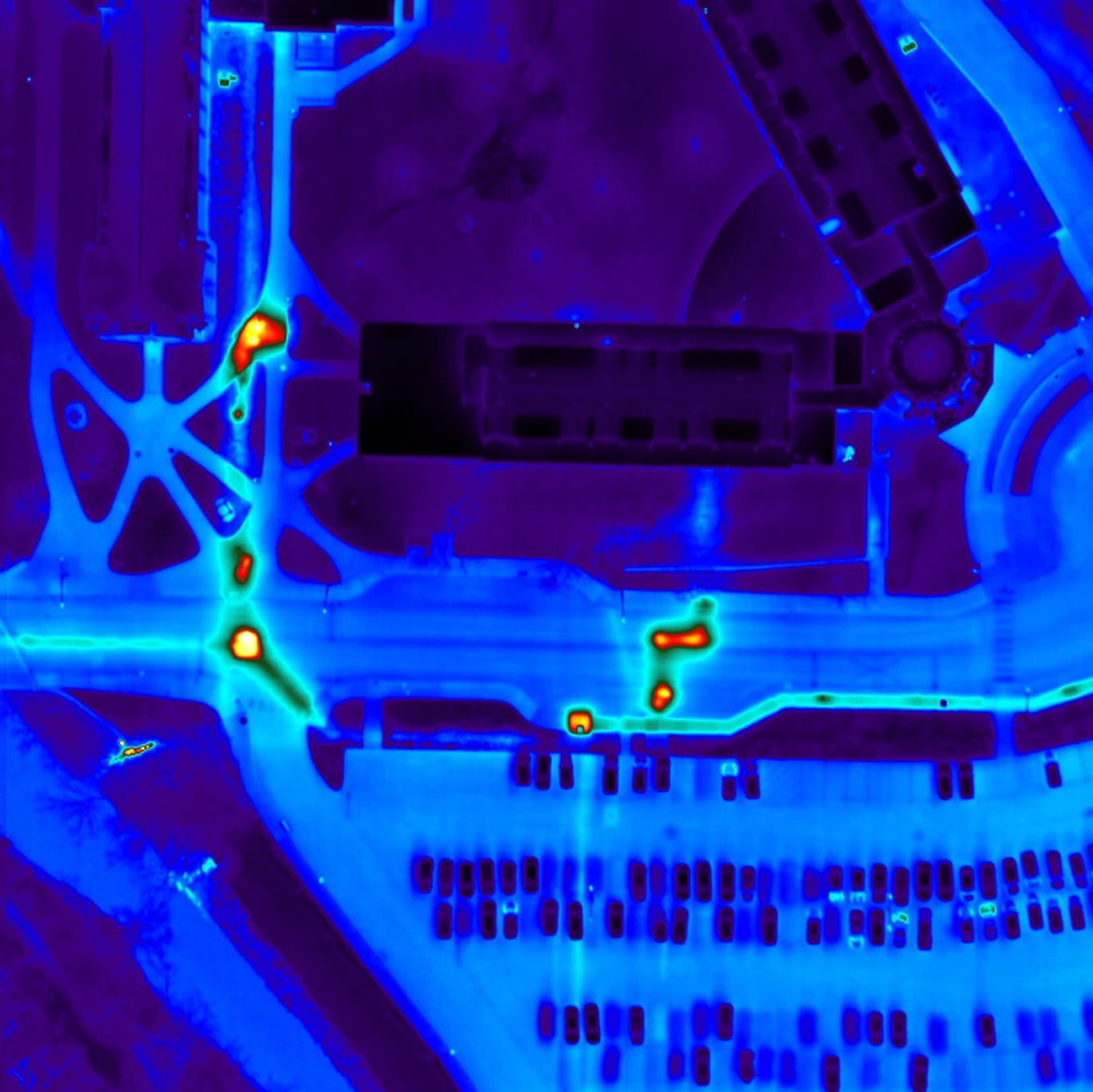
Thermal MapIR™ is the starting point for aerial thermal mapping projects that need usable geospatial data rather than a stand-alone inspection report. AITscan captures infrared and photographic imagery under conditions matched to the project, then delivers ortho-rectified maps designed to integrate with the CAD, GIS, and facility-management systems your team already uses.
This approach is especially useful when the inspection need spans a large or complex area, when multiple infrastructure systems are involved, or when the final scope has not yet been narrowed to a single service category. The resulting thermal map gives engineering, facilities, and operations teams a consistent dataset they can review alongside existing drawings, asset records, and geographic information.
As the project develops, Thermal MapIR™ can lead into more focused work such as underground steam leak detection, aerial infrared roof scanning, pollution and sewer leak detection, or solar field infrared surveys.